AASHTO (American Association of State Highway and Transportation Officials) and NBI (National Bridge Inventory) Element Deterioration Rates for Bridge Management System

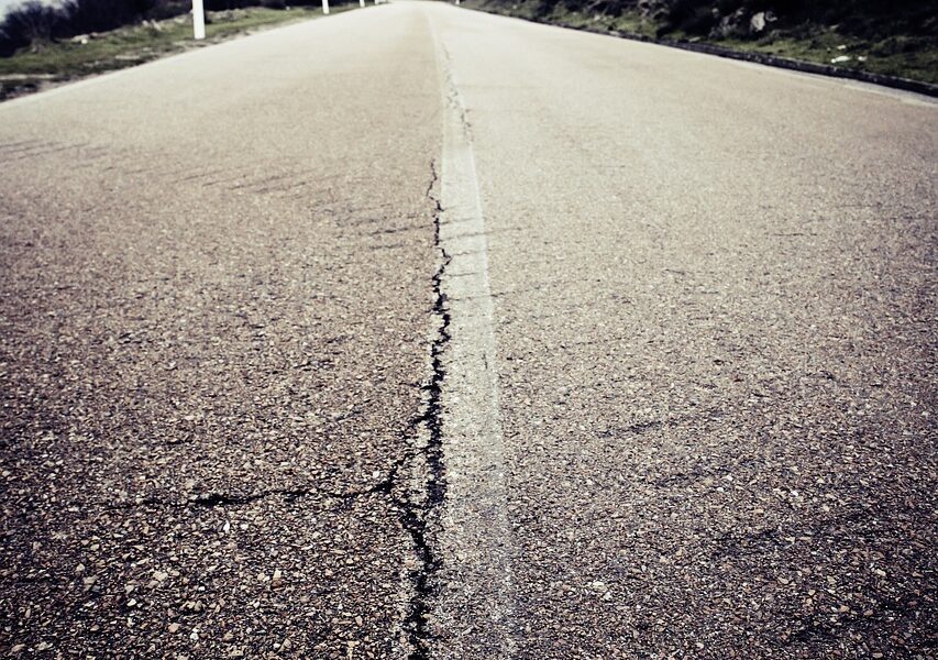
The purpose of this study is to develop and implement an analytical framework to calculate deterioration rates for bridges and large culverts based AASHTO-Element inspection data as well as NBI data and demonstrate the application of the approach through currently available inspection data. This analytical approach will be applied to generate deterioration rates for NYS bridges based on, but not limited to climate and/or geographical location, DOT Region, bridge ownership, material types, design types, and bridge types. The outcome of the research will be further implemented in the AASHTO BrM and the Agile Assets Structures Manager and Bridge Analyst.

Development of Advanced Weigh-In-Motion (A-WIM) System for Effective Enforcement of Overweight Trucks to Reduce their Socioeconomic Impact on Major Highways

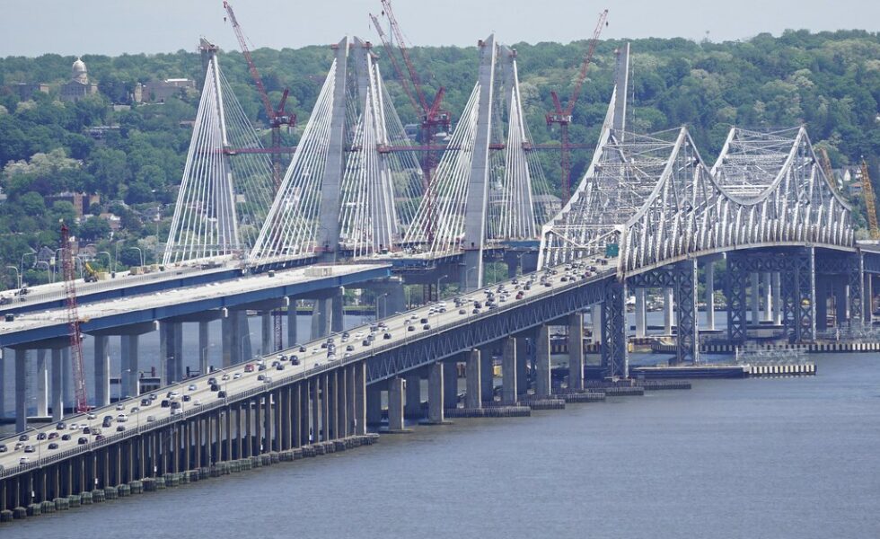
The research team will first establish a test bed for the development of the advanced WIM (A-WIM) system by collaborating with local transportation agencies for the selection of the test bed site near a static weighing station. Then, it will develop a set of calibration procedures to guarantee that the level of accuracy is reached and preserved over time. These procedures will include, but are not limited to, the effect of temperature, humidity, and pavement type.

Development of a Multi-Agency Construction Management Tool

The main objective of this study is the assessment of the Construction Impact Analysis (CIA) and Work Zone Impact and Strategy Estimator (WISE) tools, and determining the feasibility of their customization with respect to New York City Department of Transportation (NYCDOT) and New York State Department of Transportation (NYSDOT)’s needs and requirements, cost of adoption and modification, and related issues.

Street-level Flooding Platform: Sensing and Data Sharing for Urban Accessibility and Resilience

Access to real-time information on flooding can improve resiliency and efficiency by allowing residents to identify navigable transportation routes and make informed decisions to avoid exposure to floodwater contaminants. While there exist commercially available sensors that detect the presence of water inside homes, there is an unmet need for hyperlocal information on the presence and depth of street-level floodwater.

A Trusted Data Platform for Transportation Data Sharing

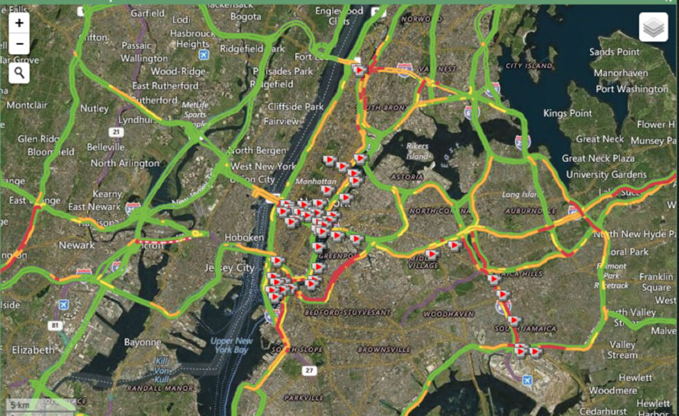
Led by INTERCEP founding director Bill Raisch, this project aims to adapt an information sharing and situational awareness technology platform currently used by INTERCEP’s Metropolitan Resilience Network to support transportation data sharing and stakeholder engagement in New York City and each of the C2SMART consortium member cities. This platform is designed to help users understand their larger operating environment, identify risks in that environment, and make informed decisions during disruptions using the assembled data.