Research on Concrete Applications for Sustainable Transportation (RE-CAST)

This project has many parts, and the NYU team is currently working with Rutgers on the RE-CAST 2D subproject. This subproject aims to test the bend strength of reinforced concrete that is repaired and strengthened using the four techniques: External Prestressing, Fiber-Reinforced Ferrocement Composite, Fiber-Reinforced Self Consolidating Concrete, and Fiber-Reinforced.

Development of Mountable Sensors to Improve Bicyclist Safety

These new sensors are focused on obtaining data about the bicyclist’s behavior, which will complement the current data and contribute to new findings. An iOS platform is also being developed to track the devices and visualize real-time data collected with them. More units are expected to be implemented into the device in the near future for crowdsourcing.

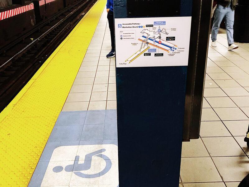
Evaluation of New Features at MTA New York City Transit’s Accessible Station Lab

C2SMART researchers are working under the direction of NYCT staff in administering surveys/conducting interviews and collecting data from users of the proposed features/installations. As the data analysis partner, C2SMART is collecting and analyzing the collected data to develop analytics to assist NYCT in evaluating the performance of each of the features being tested as part of the Accessible Station Pilot.

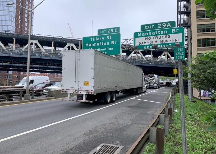
Development of Autonomous Enforcement Approach using Advanced Weigh-In-Motion (A-WIM) System to Minimize Impact of Overweight Trucks on Infrastructure

In this study, the team investigated the effect of overweight trucks on the pavement and bridge damage from a national perspective to develop the most efficient enforcement approach to minimize infrastructure damage. The enforcement approach will include the continuation of the development of the A-WIM system and expanding its deployment.

An Artificial Intelligence Platform for Network-wide Congestion Detection and Prediction Using Multi-source Data

The research team has already established an online transportation platform, named the Digital Roadway Interactive Visualization and Evaluation Network (DRIVE Net). DRIVE NET can be used for sharing, integration, visualization, and analysis of transportation-related data. The proposed research aims to extend the functions of DRIVE Net by developing an AI platform for network-wide congestion detection and prediction using multi-source data.

Integrated Analytics and Visualization for Multi-Modality Transportation Data

This research project aimed to develop a data-driven approach for modeling cities, with a focus on pedestrian dynamics, which play a fundamental role in urban planning. It focused on detecting and counting objects such as pedestrians, cars, and bicycles in visual data sources that can provide insight into how people move around a city. The research team used an image database made up of tens of millions of images produced by Brooklyn-based start-up Carmera as its main data source.

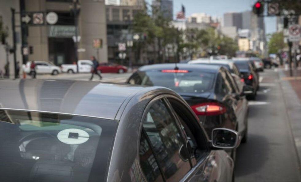
Urban Microtransit Cross-sectional Study for Service Portfolio Design

The knowledge base from this data can be used to support design of portfolios of service options for a city. Given all the myriad of different options and existing public data, can we design a framework that can identify operating strategies that dominate in one or more sustainability criteria and quantify their performances within a portfolio of projects for city agencies to evaluate?